POSTERS: კარტოგრაფია / Cartography
A series of four illustrations exploring specific Georgian landscapes through the visual language of cartography, topography, and line.
Each piece uses a different visual approach to the same underlying question: what does it mean to represent a place you know?
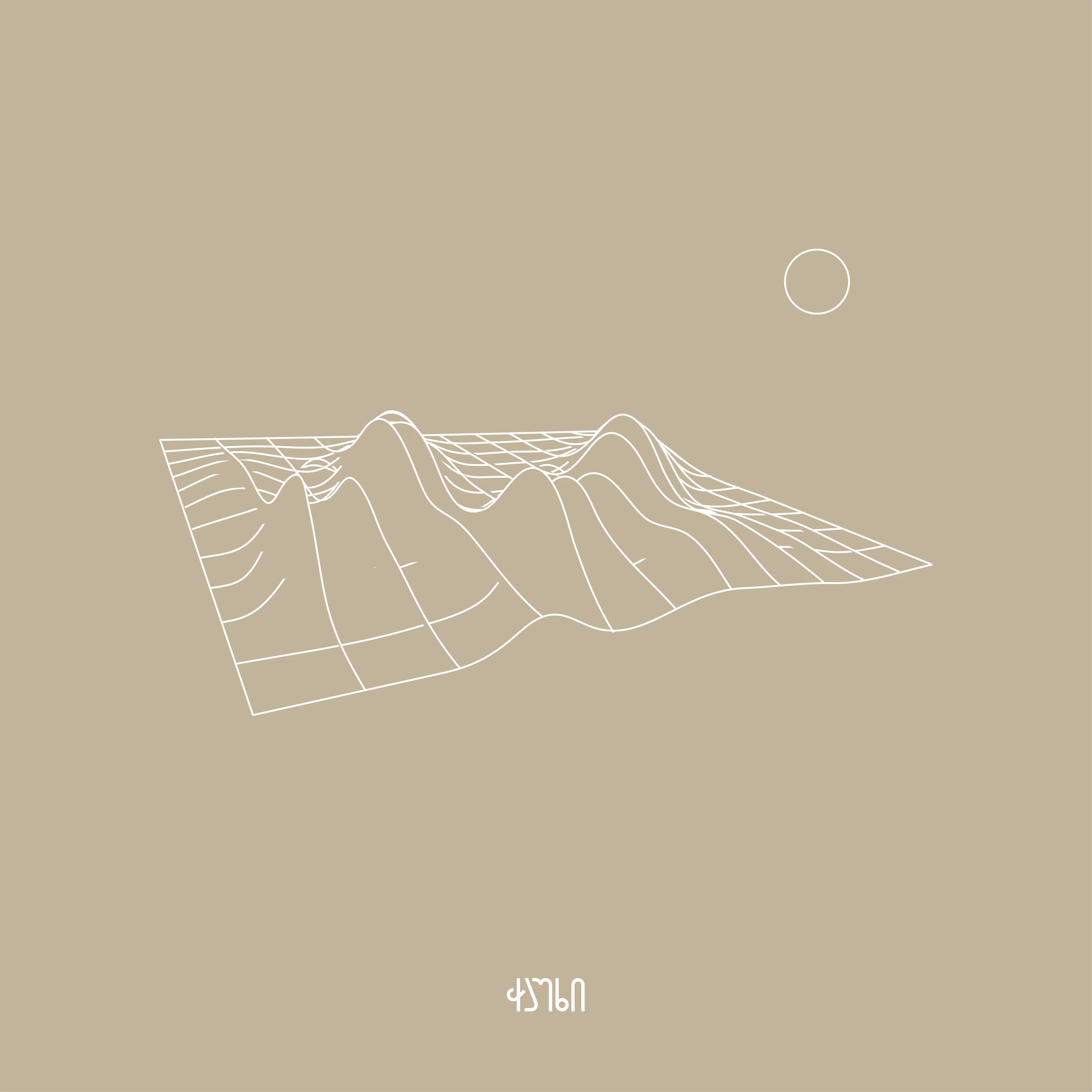
ჭაუხი / Chaukhi
Renders the Chaukhi mountain massif in the Greater Caucasus as a 3D wireframe topographic model on a warm sand ground.
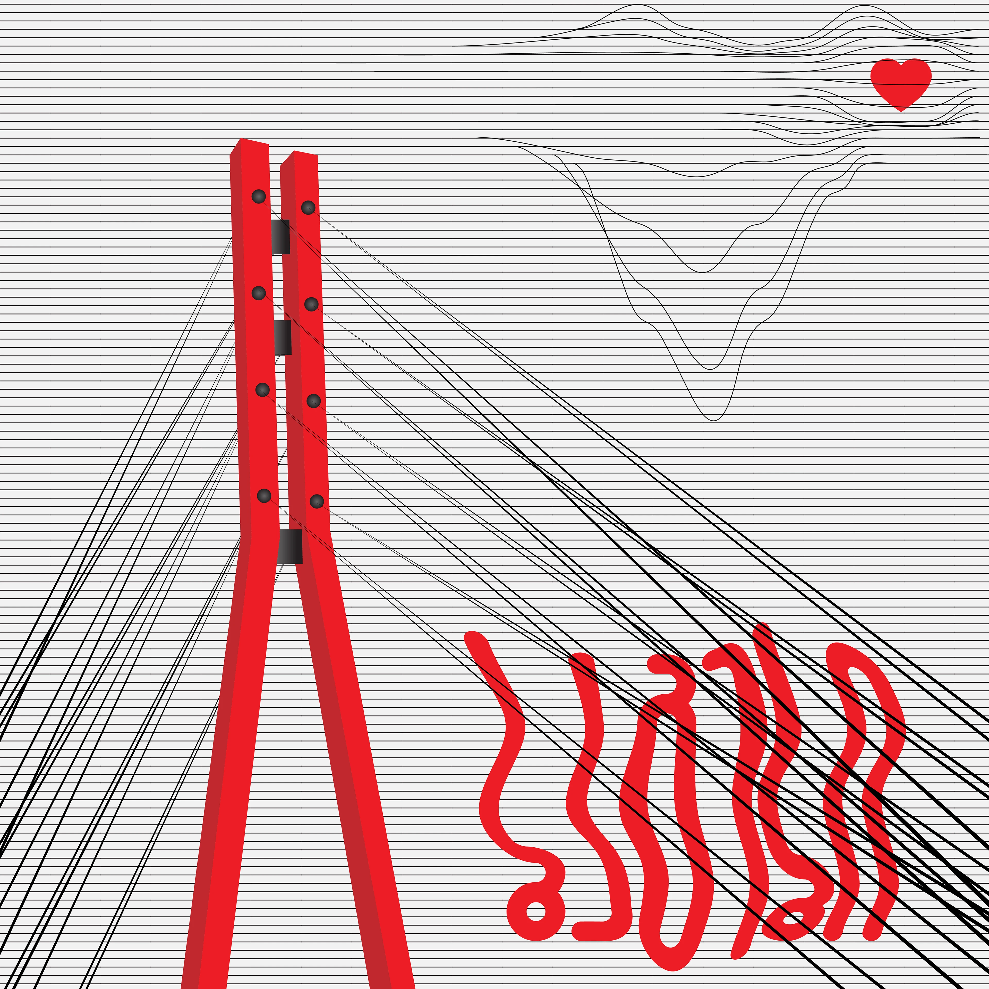
ბაგები / Bagebi
Depicts the pedestrian bridge in Tbilisi's Bagebi district: red cable-stay structure, dense horizontal ruled lines, and Georgian script distorted by the bridge's geometry.
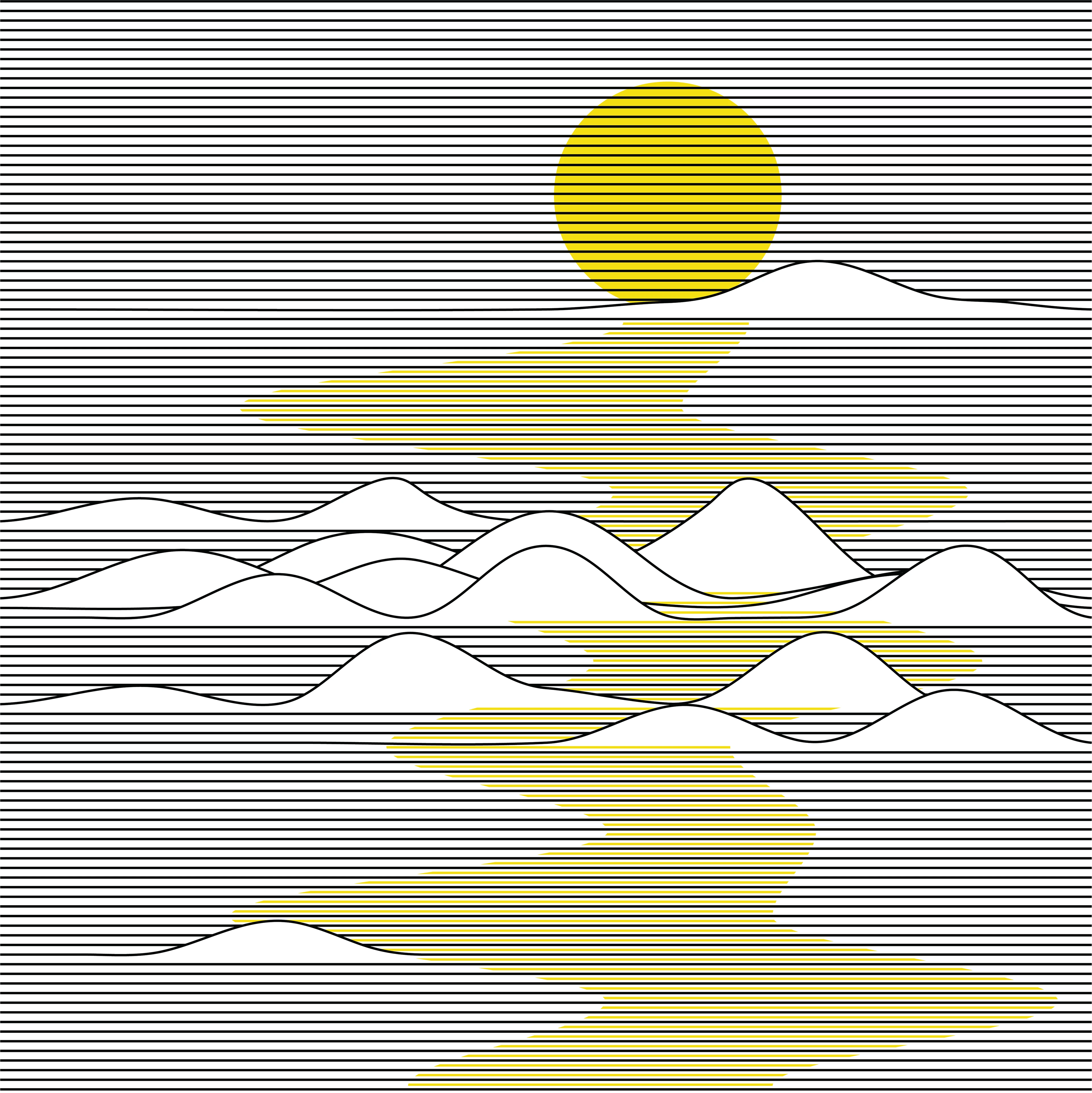
ბათუმი / Batumi
Abstracts a Black Sea sunset into horizontal line and single colour - black linework interrupted by yellow where the light falls.
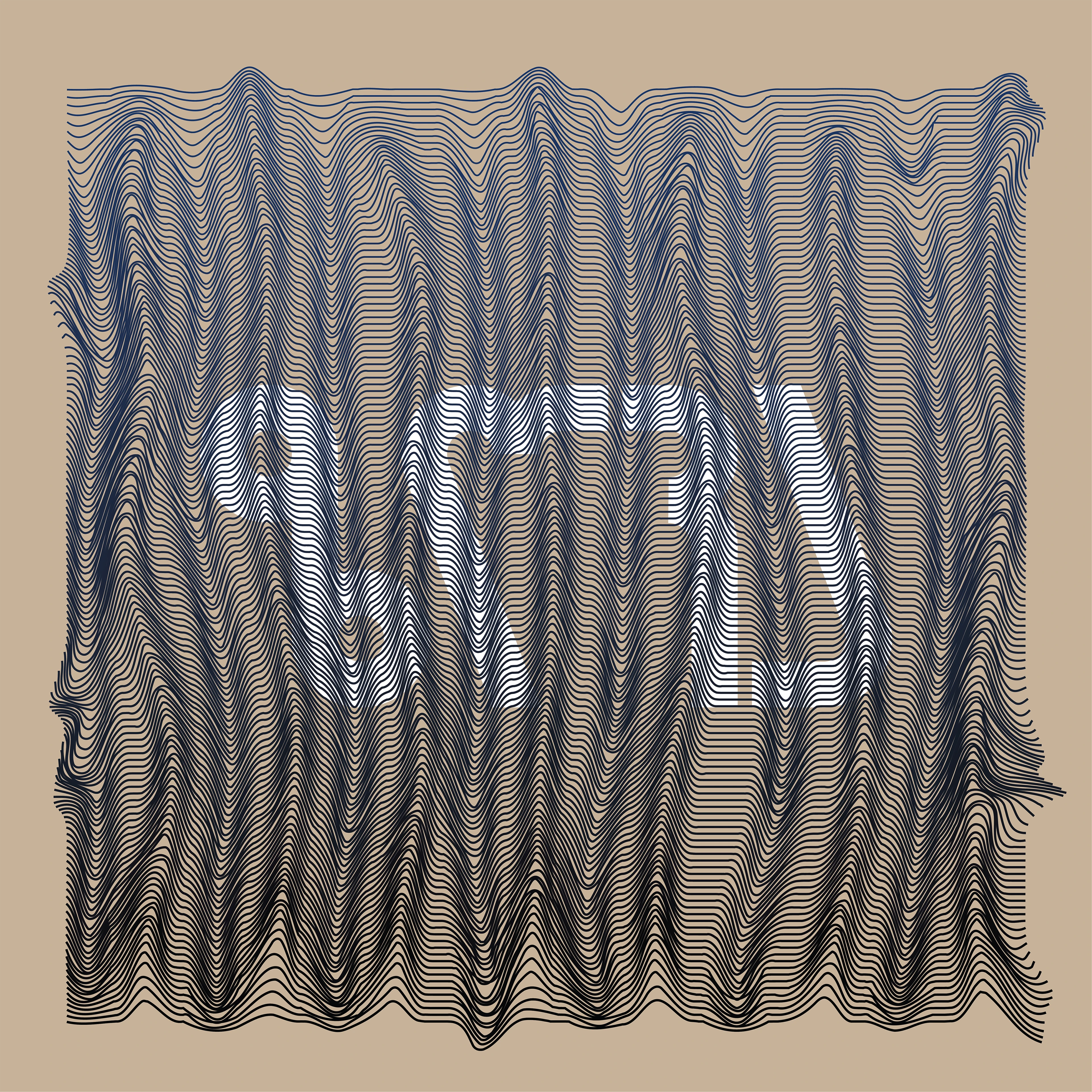
ზღვა / Zgva (Sea)
The most abstract piece in the series - dense contour lines simulating water depth and wave movement, with the Georgian word for "sea" embedded in the pattern itself.